Kendo UI for Angular
Angular Map
- Visualize geographical data on an interactive Angular Map. Supply your own GeoJSON source or connect to cloud data.
- Part of the Kendo UI for Angular library along with 110+ professionally-designed components.
- Includes support, documentation, demos, virtual classrooms, Visual Studio Code Extensions and more!
-
Layers for Any Geographic Visualization
Information displayed by the Angular Map is organized into four layer types that can be used to tell virtually any geographic story.
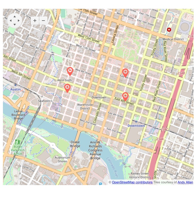
- Tile Map Layer: Use this layer when binding to online providers such as OpenStreetMap.
- Shape Map Layer (GeoJSON vector map): use this layer when you want to create your own shapes using GeoJSON.
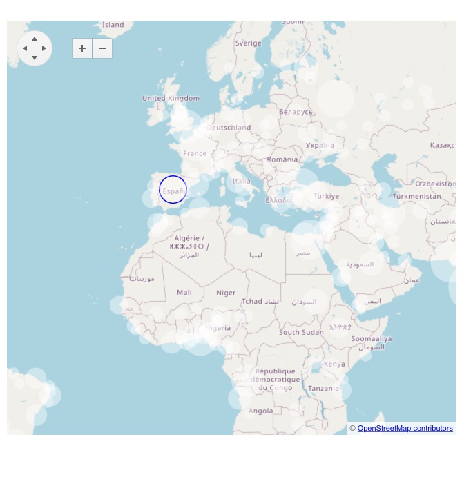
- Bubble Map Layer: This layer is a chart type that uses location and value to show circles with size relative to value.
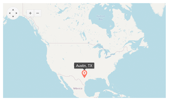
- Marker Layer: Use this layer to render markers over specific locations.
-
Show Data on a Live Map
The Angular Map is a great way to visualize data on a live map. Bind it to various cloud geo data providers such as OpenStreetMap and Azure Map or supply any GeoJSON source. Support for layers is included which is the key feature for displaying the overlaid markers and drawings that tell your story.

Get Started with Kendo UI for Angular