
UI for .NET MAUI
.NET MAUI Map
- The .NET MAUI Map control is equipped with flexible styling options, support for multiple layers, pan and zoom, and more.
- Part of the Telerik UI for .NET MAUI library along with 70+ professionally-designed UI controls.
- Includes support, documentation, demos, learning resources and more!
-
Visualize Maps with .NET MAUI Map Control
The Telerik Map for .NET MAUI is a data visualization control designed to enable the visualization of rich spatial data. The control provides visualization of ESRI shapefiles that consist of geometric objects, such as lines, polylines and polygons. Such objects are commonly used to display various schemes, for example, floor plans and seat distribution, all the way to parts of maps for countries, roads, rivers, etc.
See the .NET MAUI Map documentation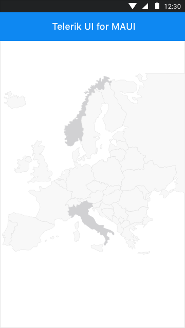
-
Shapefile Visualization
The .NET MAUI Map control visualizes spatial data using layered architecture. It could display spatial data points (e.g. location of cities), polylines (e.g. road connections), or polygons (shape of countries or continents) in a geographic coordinate system. In this coordinate system, a point on the surface of the earth is defined using latitudes and longitudes.
See the .NET MAUI Map documentation: Shapefile visualization
-
Support for Multiple Layers
The layered architecture of the control provides the option to load multiple shapefiles, so you can visualize different types of elements on the same map.
-
Multiple Ways to Load Shapefiles
You can load the .NET MAUI Map shapefiles from a stream, from a file added as embedded resource or a file located on the device, etc.
-
Support for Pan and Zoom
The Telerik UI for .NET MAUI Map control provides pan and zoom functionality that will help users to interact with the view and inspect the data of a given map. The Map control handles the gestures such as drag, pinch-open and pinch-close which respectively cause panning, zooming-in and zooming-out of the associated plot area.
-
Shape Labels
The Telerik Map control for .NET MAUI allows you to display a label for each shape in the Map control.
-
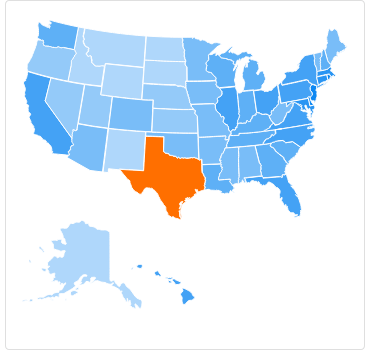
Selection Support
The Telerik Map control supports single and multiple selection of shapes to help draw your users’ attention to a specific areas.
-
Commands
The Map allows you to replace the default behavior of ZoomIn and ZoomOut commands with a custom implementation.
-
Multiple Styling Options
The .NET MAUI Map control comes with the ability to easily style the shapes of the control and define the stroke width, color and fill color.
