Kendo UI for jQuery Map Overview
Updated on Jan 7, 2026
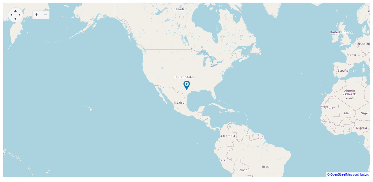
The Map displays geospatial information organized in layers and is supported for both desktop and mobile devices.
It also provides tile layers, shape (vector) layers, and marker layers.
Functionality and Features
- Layers—Learn the possible options to render the layers.
- Azure Tiles—Learn how to integrate Azure Maps as a tile source by proxying tile requests through an ASP.NET Core backend.
- Creating maps—You can create your own map using datasets.
- Implementation with Azure—You can configure the Map to work with Azure service.
Next Steps
- Getting Started with the Kendo UI Map for jQuery
- Overview of the Map (Demo)
- JavaScript API Reference of the Map