New to Telerik UI for WinForms? Start a free 30-day trial
LocalMapProvider
Updated on May 7, 2026
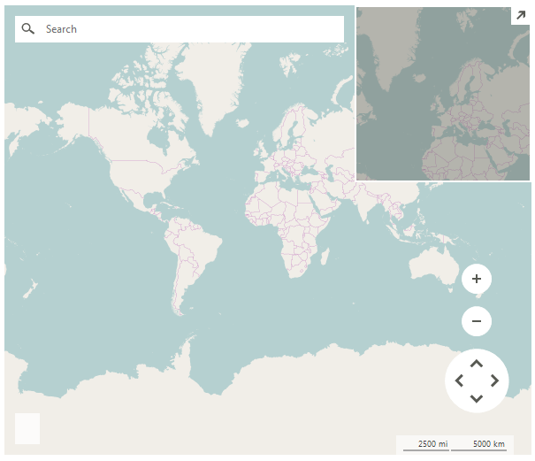
RadMap can visualize data from local image files by using a LocalMapProvider.
Figure 1: LocalMapProvider
Using LocalMapProvider
C#
string mapFolder = @"..\..\World";
LocalMapProvider provider = new LocalMapProvider();
provider.DirectoryPath = mapFolder;
provider.FileFormat = "os_{0}_{1}_{2}.png";
provider.MinZoomLevel = 1;
provider.MaxZoomLevel = 9;
radMap1.Providers.Add(provider);
The FileFormat property specifies what is the exact format of the image files stored in the local folder. The parameters needed are the tile X {0} and Y {1} numbers and the Zoom level {2}. In the code snippet above, each file image's name is built by using x,y,z values: "os_X_Y_Z.png".
Properties
| Property | Description |
|---|---|
| DirectoryPath | Specifies the folder path. |
| FileFormat | Specifies the file format. |
| NoImageAvailable | Gets or sets an image that will be displayed when a tile image cannot be retrieved or does not exist. |
| TileSize | Gets the tile size. |
| Initialized | Gets or sets a value indicating whether this LocalMapProvider is initialized. |
Methods
| Method | Description |
|---|---|
| LoadTile | Loads the tile image by x,y, zoom. |